send link to app
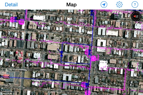
ROAMviewer is a connected mapping app that displays telecommunications network information from a Synchronoss spatialNET datastore. Users can interactively display network layers, search for specific assets, and find out what assets are nearby using the iPad’s GPS capability.
FEATURES
• Access spatialNET network layers
• Search for nearby assets and filter by asset type
• Search for nearby places
• View the details of selected assets or places
• View the details of field jobs
Continued use of GPS running in the background can dramatically decrease battery life.


